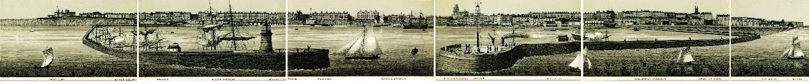
 This is a fairly rough copy of my 1906 map of Thanet that various people have asked me to make available. I have dated it based on the pavilion built in 1906 being shown and the lift opened in 1908 not being shown.
I will endeavour to do a bit better than just a photo if the map in the fullness of time, click here to view the map.
Nice one well done that man
ReplyDeleteI can see my house but can't see an airport anywhere. I presume that means the airport will have to move as my house was here years before they built it!
ReplyDeleteI can see the cliffs but can't see my house anywhere. I presume that means the house will have to move as the seagulls were here years before they built it!
ReplyDeleteDUUHH there's an airport near that nice house I wanna buy...oh its ok it seems quiet therefore it wont ever be busy. Dork.
ReplyDelete